
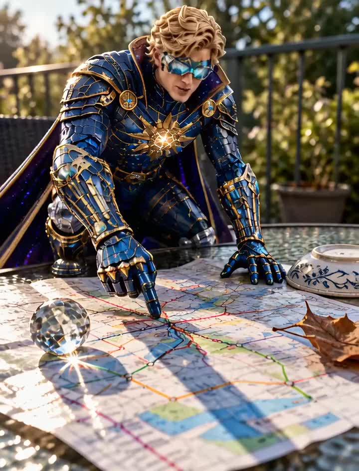

Subterranean Cartography
I unrolled a glossy transit map across the patio table, determined to decipher what are clearly the underground laser defense grids of the city. Tracing the vibrant red and blue routes with my gauntlet, I analyzed the strategic intersections where subterranean forces likely mobilize. When a stray draft threatened to fold Sector Four into the unknown, I acted with swift precision, nudging a heavy, faceted glass marble across the surface. The sphere rolled smoothly along the blue line before locking into the center fold, anchoring the entire metropolis in stasis. With the subterranean network thoroughly mapped, my tactical dominance over the urban sprawl is virtually guaranteed.