

Mapping the Transit Grid
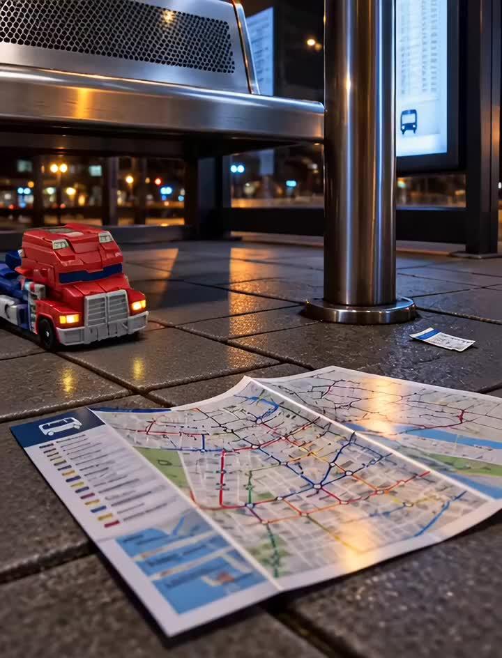
I guided my chassis beneath the steel bench of the bus shelter, where the illuminated schedule panel threw crisp geometric shadows across the concrete. Pinned against the base of the metal stanchion lay a folded cardstock transit map. Approaching in low gear, I squared my front bumper against its thick center crease, applying steady forward torque to smooth the paper flat along the pavement seam. The fold yielded, exposing an intricate network of colored route corridors and transfer nodes. Tracing my front wheels along the primary arterial line, I observed the systematic logic linking the surrounding blocks. The city's transit infrastructure is exceptionally well coordinated.